Simplify Geo
This command from the context menu, on the Import Options dialog or from the list box „Action“ on the Modify Objects dialog enables to simplify the geometry of polygons by deleting intermediate points.
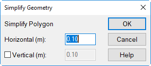
This may save memory space and decreases the computing time. In particular, imported data may be to much in detail. By applying the command Simplify Geo a substantial data reduction can be achieved without loosing accuracy.
Dialog options
- Horizontal: The specified condition is checked for deviations in the xy plane and - if fulfilled - applied.
- Vertical: With this option enabled, a vertical deviation in the z direction can be specified. This condition is then tested in addition and - if fulfilled - applied. In this case, both conditions - horizontally and vertically - must be met to cause a simplification of the object‘s geometry.
Example
In the example, a line source is used.
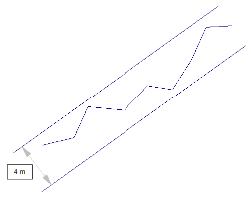
Initial situation: line source with many polygon points
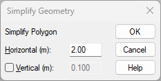
On the dialog Simplify Geometry a value of 2 m is entered for above line source. This causes the deletion of all points meeting the above criterion.
After closing the dialog with OK the line source is straightened, since all intermediate points are within a range of +/- 2 m. As a result, the line source, in this example, just consists of first and last point.
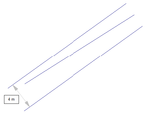
Final situation: line source made of two polygon points (in this example)